Pattern
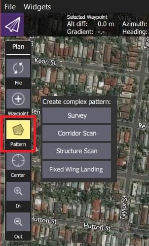
The Pattern tools (in the PlanView Plan Tools) allow you to specify complex flight patterns using a simple graphical UI. The available pattern tools depend on the vehicle (and support for the vehicle-type in the flight stack).

| Pattern | Description | Vehicles |
|---|---|---|
| Survey | Create a grid flight pattern over a polygonal area. You can specify the polygon as well as the specifications for the grid and camera settings appropriate for creating geotagged images. | All |
| Structure Scan | Create a grid flight pattern that captures images over vertical surfaces (polygonal or circular). These are typically used for the visual inspection or creation of 3D models of structures. | MultiCopter, VTOL |
| Corridor Scan | Create a flight pattern which follows a poly-line (for example, to survey a road). | All |
| Fixed Wing Landing | Add a landing pattern for fixed wing vehicles to a mission. | Fixed Wing |